Classification of surveying
A. Based on the nature of the field survey
a. Land Surveying
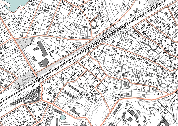
I. Topographical Surveys:
- Consists of horizontal and vertical location of certain points by linear and angular measurements
- Is made to determine the natural features of a country such as rivers, streams, lakes, woods, hills, etc. and such artificial features as roads, railways, canals, towns and villages
II. Cadastral Surveys:
- Are made incident to the fixing of property lines, the calculation of land area, or the transfer of land property from one owner to another.

III. City Surveys:
- Are made in connection with the construction of streets, water supply systems, sewers and other works.

B. Based on the objective of the survey
I. Engineering Survey
- Is undertaken for the determination of quantities or to afford sufficient data for the designing of engineering works such as roads and reservoirs, or those connected with sewage disposal or water supply

II. Military Survey
- Is used for determining points of strategic importance

III. Mine Survey
- Is used for the exploring mineral wealth

IV. Geological Survey
- Is used for determining different strata in the earth’s crust
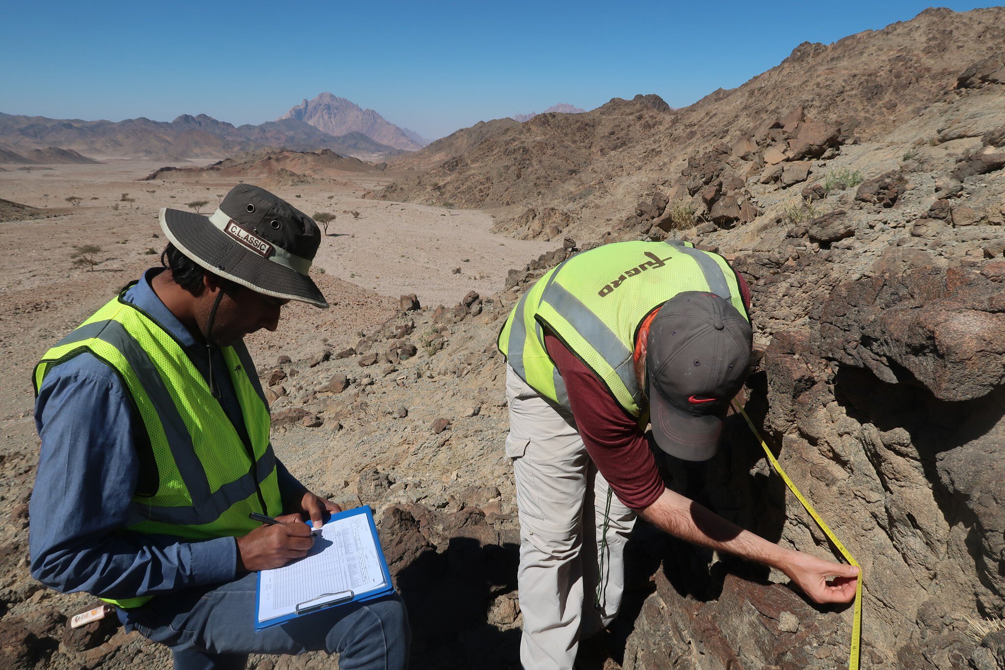
V. Archaeological Survey
- Is used for unearthing relics of antiquity
- Collect information about the location, distribution and organization of past human cultures.

C. Based on Instrument and Method Used
- Chain Survey
- Theodolite Survey
- Traverse Survey
- Triangulation Survey
- Tacheometric Survey
- Plane Table Survey
- Photogrammetic Survey
- Aerial Survey