Global positioning system (GPS)
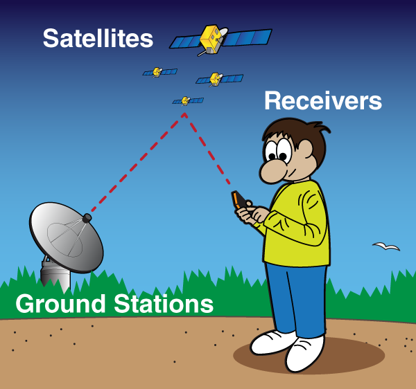
- The Navigation Satellite Timing and Range Global Positioning System, or NAVSTAR GPS, is a satellite based radio-navigation system that is capable of providing extremely accurate worldwide, 24 hour, 3-dimensional location data (latitude, longitude, and elevation).
- The system was designed and is maintained by the US Department of Defense (DoD) as an accurate, all weather, navigation system.
- Though designed as a military system, it is freely available with certain restrictions to civilians for positioning.
- The system has reached the full operational capability with a complete set of at least 24 satellites orbiting the earth in a carefully designed pattern (Gelian et al.,2012).
- GPS equipment manufacturers have developed several tools to help farmers and agribusinesses become more productive and efficient in their precision farming activities.
- Today, many farmers use GPS-derived products to enhance operations in their farming businesses.
- Location information is collected by GPS receivers for mapping field boundaries, roads, irrigation systems, and problem areas in crops such as weeds or disease.
- The accuracy of GPS allows farmers to create farm maps with precise acreage for field areas, road locations and distances between points of interest.
- GPS allows farmers to accurately navigate to specific locations in the field, year after year, to collect soil samples or monitor crop conditions